Piton Crève-Cœur Hike in Sainte-Anne: Trail Guide and Visit Tips
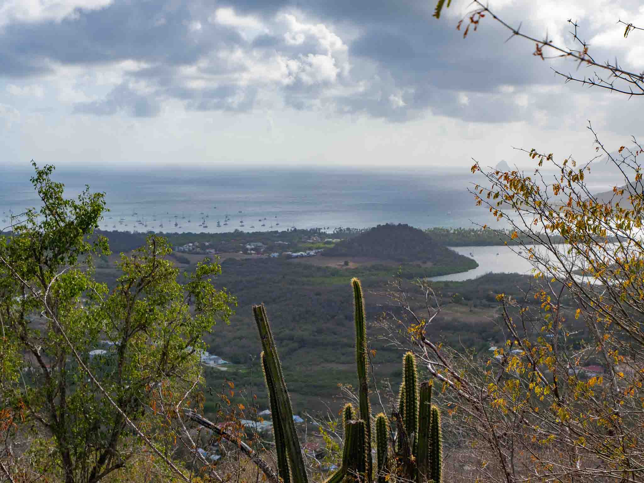
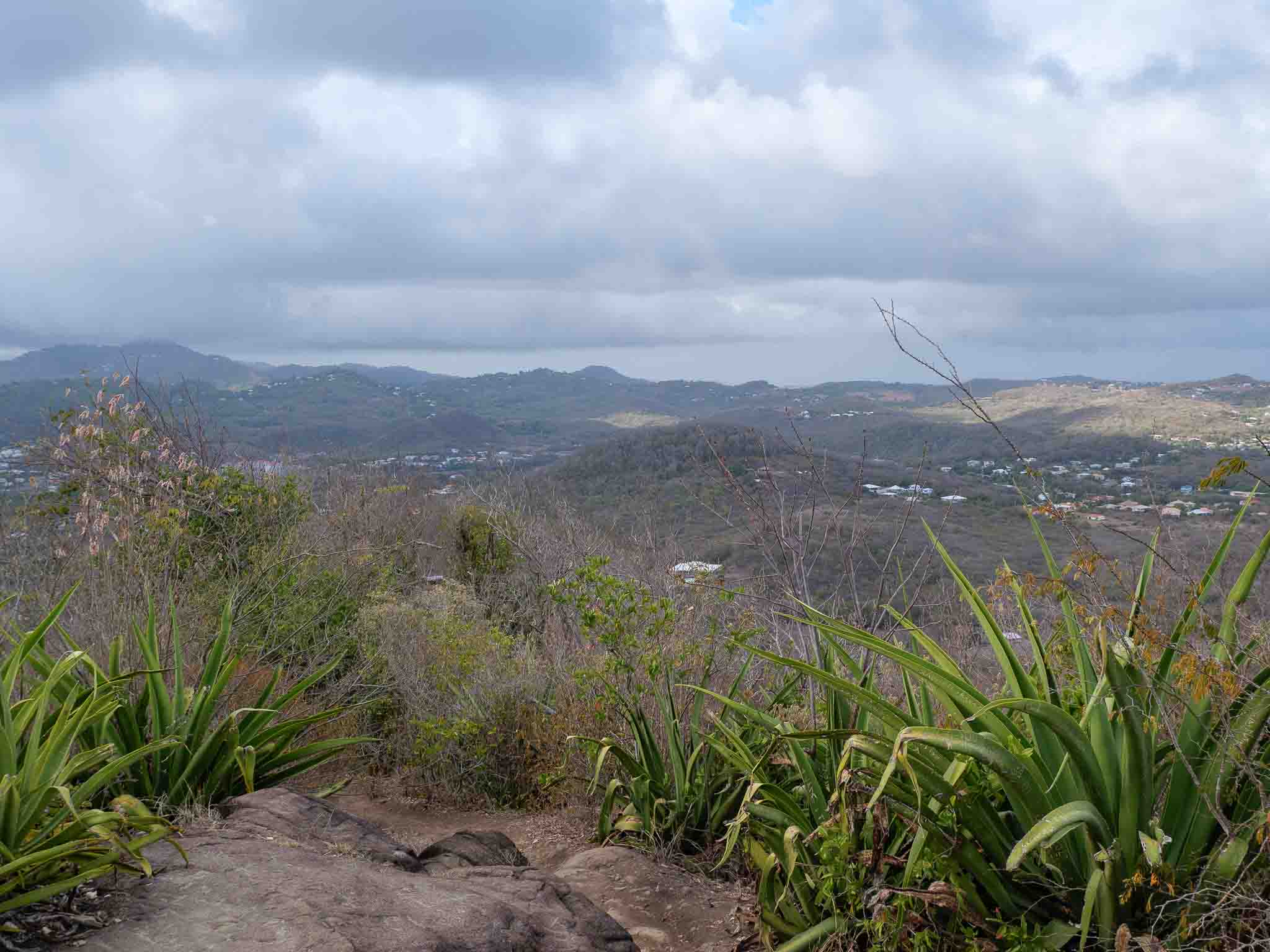
It was somewhat by chance, in the middle of the afternoon, that we embarked on the Piton Crève-Cœur hike while strolling around Sainte-Anne. Frankly, we did not expect to discover such a spectacular 360-degree panorama over the entire southern part of the island, even though the weather was slightly overcast that day.
This short and accessible hike stands out as an ideal excursion to share with family or friends when visiting the area. Between the ruins of a former sugar estate, preserved undergrowth, and a breathtaking summit viewpoint, the itinerary offers a beautiful immersion into Martinique’s natural heritage. Consequently, you will experience a perfect blend of history and raw nature.
What's in this post
1. A Volcanic and Historical Relic in the Heart of the Sainte-Anne Peninsula
Culminating at an altitude of about 650 feet (200 meters), Piton Crève-Cœur dominates the rolling landscapes of southern Martinique. Interestingly, this unique peak combines major geological significance with a deep sugar-producing past.
A Witness to Martinique's Ancient Volcanism
On a geological level, Piton Crève-Cœur corresponds to an ancient, eroded volcanic dome. In fact, it belongs to the island’s primitive volcanic arc, which formed roughly 18 million years ago. Therefore, it existed long before the eruption of northern peaks like Mount Pelée.
Today entirely extinct, this landform offers a characteristic conical silhouette amidst the hills of the Sainte-Anne peninsula. Furthermore, the dense vegetation covering it beautifully conceals a solid basaltic rock foundation, acting as a direct witness to the area’s primitive eruptive activity.
The Ruins of Habitation Crève-Cœur at the Trailhead
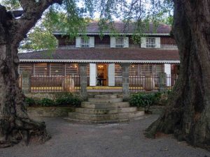
Before starting the ascent, the very beginning of the hike allows you to glimpse the ruins of the former Habitation Crève-Cœur. Founded in the 18th century, this historic estate was once entirely dedicated to growing sugarcane and producing sugar and rum.
Amidst the lush tropical vegetation, you can still easily distinguish the masonry walls of the old sugar factory and the purging house. In addition, several structural elements of the period’s agricultural machinery remain perfectly visible to hikers.
2. Trail Guide: Itinerary, Duration, and Difficulty Level
Climbing Piton Crève-Cœur constitutes a highly accessible hike for most walkers. Ultimately, it is ideal for squeezing a short, sporty outing into a full day of exploration.
Trail Data & Overview
Distance: Roughly 1.2 miles (2 kilometers) round trip.
Elevation gain: About 490 feet (150 meters).
Average duration: Expect 1h15 to 1h30 (depending entirely on your pace and break times).
Difficulty level: Rated as easy to moderate.
Trail markers: Follow the yellow paint marks along the path.
The Flow of the Trail: From Ruins to Summit Steps
The route officially begins at the parking area set up near the plantation ruins. During the first few meters, you will walk in the shade of a dry forest, which is a highly characteristic plant ecosystem in this part of the island.
Quickly, the slope intensifies through a series of switchbacks. Fortunately, trail improvements featuring wooden steps and leveled platforms greatly facilitate progression on the steepest sections.
Although brief, the ascent does require a decent level of physical fitness. Meanwhile, the path itself remains perfectly maintained year-round. Eventually, the vegetation gradually thins out as you approach the ridge, hinting at your very first perspectives of the coastline.
3. The 360° Summit Panorama and Scenic Viewpoints
While the climb demands a steady physical effort, the visual reward offered throughout the hike and upon reaching the top heavily justifies every single meter covered.
Visual Breakthroughs During the Ascent
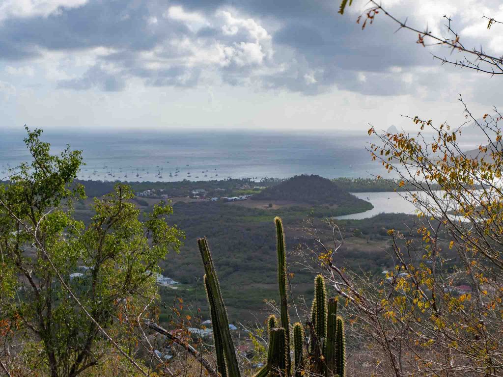
As you gain altitude, the dry forest clears up in certain places to reveal magnificent viewpoints of the surroundings.
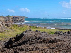
These natural openings allow you to gauge your progress while observing the winding Atlantic coast and the varying shades of blue in the nearby bays. Consequently, they provide the perfect opportunity to take short breaks, admire the landscape, and capture a few stunning photographs.
The Summit Viewpoint: A Breathtaking View of the South
Arriving at the ridge clearly marks the highest point of the hike. Equipped with a wooden viewing platform and an orientation table, the summit offers an unobstructed 360-degree panoramic view over the entire Sainte-Anne peninsula.
From this spectacular promontory, your gaze easily embraces:
To the north and west: Marin Bay, the Cul-de-Sac du Marin, and, far in the distance, the famous silhouette of Diamond Rock (Rocher du Diamant).
To the east and south: The Atlantic coastline, the Bay of Angels (Baie des Anges), Cap Chevalier, and the wild expanses bordering Les Salines.
Even when the weather is hesitant and the sky proves to be a bit overcast, the spectacle remains totally striking. Specifically, the sharp contrast between the volcanic relief, the surrounding greenery, and the immensity of the lagoon creates an absolutely unforgettable setting.
4. Practical Field Tips
To approach this ascent with complete peace of mind, a few simple logistical adjustments will help you enjoy the trail in the best possible conditions.
Road Access and Parking: How to Reach the Trailhead
Accessing Piton Crève-Cœur is done via the D9 road connecting Le Marin to Sainte-Anne. Right after passing the roundabout leading toward Cap Chevalier, simply take the small paved road heading up to the left toward the site.
This narrow lane winds through the countryside for about a mile. Upon arrival, a dedicated parking area at the foot of the estate ruins allows you to park for free and access the trail directly.
Anticipating the Heat and Choosing the Best Times
Even though the forest canopy provides welcome shade over a large portion of the route, the very dry climate and southern humidity make physical effort quite demanding in the middle of the day.
Therefore, two specific time slots are highly recommended:
Early morning (before 9:00 AM): To tackle the climb in the cool morning air before the sun beats down too intensely on the ridge.
Mid-afternoon (after 3:30 PM): To benefit from much milder temperatures and fully enjoy the golden, late-day light reflecting on the bay.
Essential Gear for a Safe Ascent
Although this is a relatively short outing, the steep incline requires a minimum of equipment preparation:
Closed-toe shoes: Always opt for good sneakers or sturdy hiking boots. Because the wooden steps and rocky sections can become slippery, it is best to avoid flat-soled shoes entirely.
Hydration: Bring at least one liter of water per person. Indeed, the steep climb will elevate your heart rate very quickly.
Sun protection and repellent: Pack a hat and sunscreen for the exposed summit section. Additionally, bring insect repellent to safely cross the dry forest at the bottom.
5. What to Do After the Effort? Our Best Nearby Stops
Following this steep ascent under the tropical climate, the Sainte-Anne peninsula offers excellent options to cool off and pleasantly extend your day, all located just a few minutes’ drive away.
Cap Chevalier and Anse Michel: Lagoons and Coconut Palms Nearby
Located less than a ten-minute drive from the trailhead, Anse Michel (at Cap Chevalier) constitutes the ideal stopover to relax after your hike.
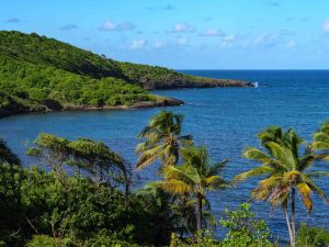
Fringed by leaning coconut palms and protected by a vibrant coral reef, this large beach offers a calm lagoon with crystal-clear waters. Without a doubt, it is the perfect spot to take a dip, enjoy a shaded picnic, or watch the graceful ballet of windsurfers and kiteboarders.
Strolling and Gourmet Breaks in Sainte-Anne Village
Heading South: Lazy Afternoon at Salines Beach
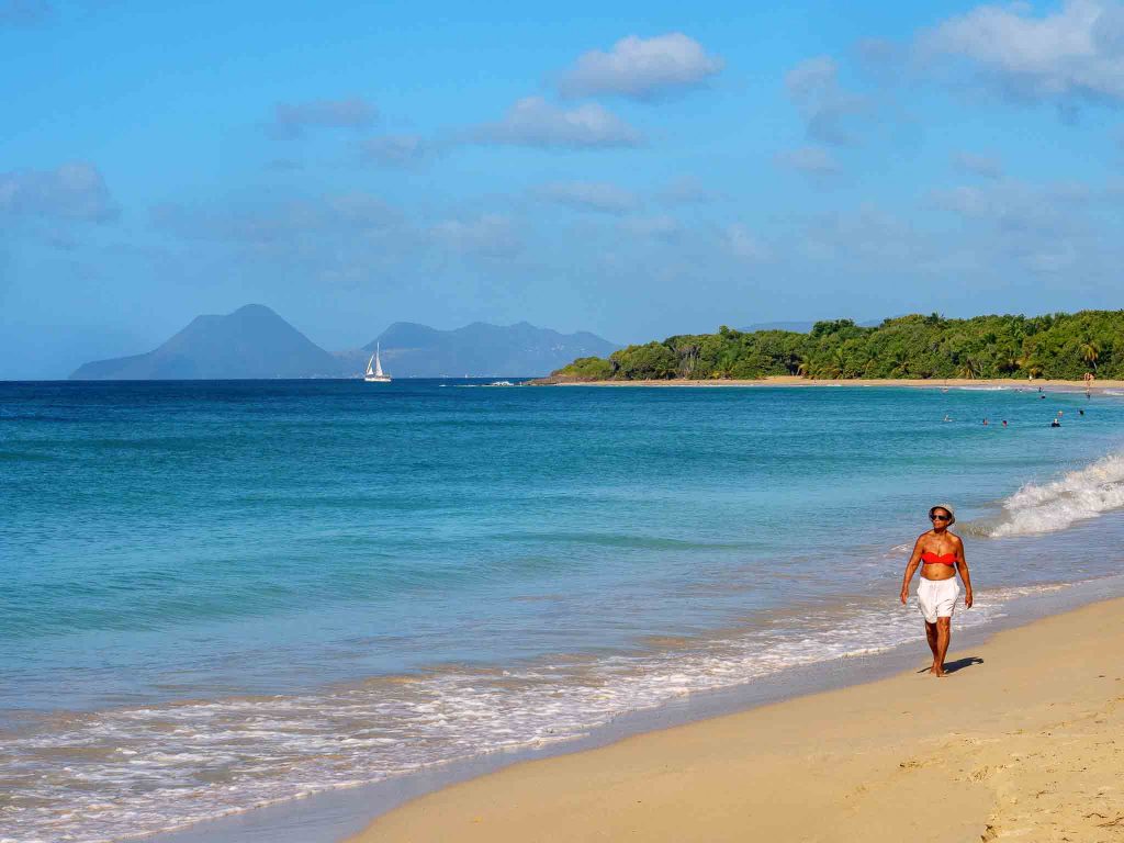
If you wish to continue your coastal exploration, simply keep driving south toward the peninsula’s tip to reach the famous Grande Anse des Salines beach.
Featuring a long ribbon of golden sand, colorful heliconia flowers, and century-old sea grape trees, this iconic site allows you to relax in the shade. Moreover, you can admire an incredible sunset over the Caribbean Sea from here.
Final Words: A Memorable View for a Moderate Effort